The Friends of Lower Kororoit Creek was established in 2001 by a group of volunteers who wanted to improve the area around the creek…..
About the lower Kororoit Creek
Kororoit Creek has a catchment area of 190 square kilometres. Its headwaters rise in the hills around Mt Aitkin, north east of Gisborne, from where it meanders down near Sydenham West and Rockbank following the Western Highway through Deer Park and Sunshine. The creek then passes through Ardeer, Tottenham, Brooklyn, Altona North and Altona and flows into the sea at Altona Bay.
Before the 1800s, the area abounding the Kororoit Creek was mostly basalt plains grassland with native grasses and wildflowers. Not many trees survived on the young basalt clays.
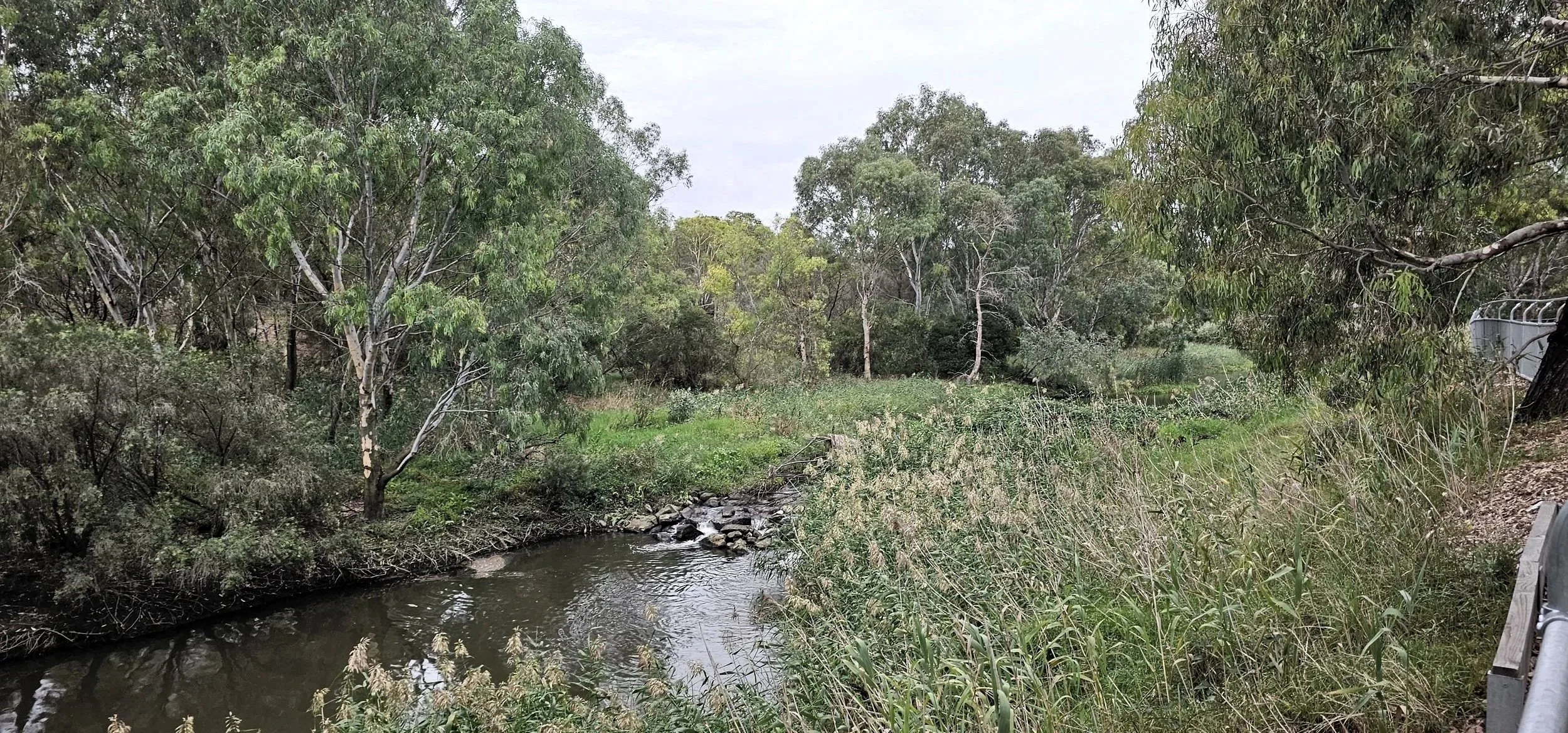
Kororoit Creek has original remnant vegetation remaining along it, and some of the ancient River Red Gums are quite special. There are also numbers of rocky outcrops where most of the most significant native vegetation persists.
Spectacular wetlands, containing many different species of migratory birds, occur along the creek and the amount of wildlife that can be seen during the day is surprisingly high.
For many years the creek was regarded as a derelict site that was overgrown with weeds and became a dumping ground for rubbish and old car bodies.
However, since the 1980s, things have changed rapidly and by the end of the decade Kororoit Creek had been set aside as a significant linear park.
Take a peek at the lower Kororoit Creek…
Where is the Lower Kororoit Creek?
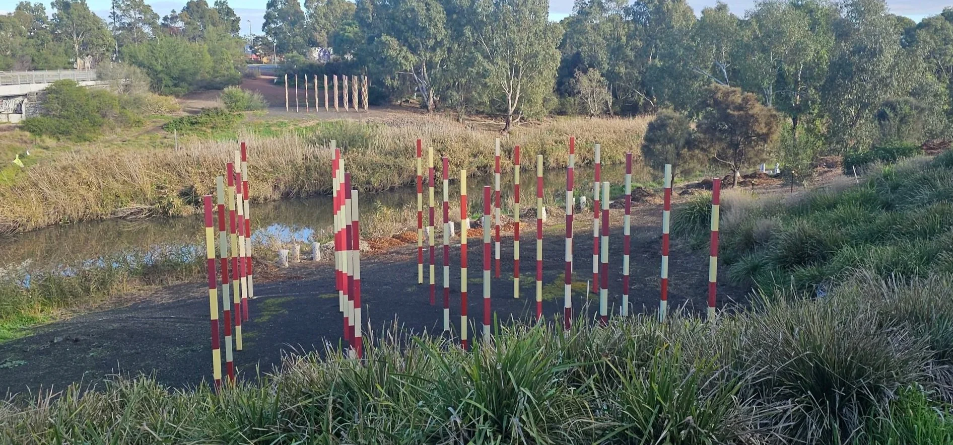
The Friends of Lower Kororoit Creek work along the creek from the old Bluestone Bridge along the Princes Highway all the to the mouth of the creek at Williamstown, with several planting projects completed over more than 20 years. Our current focus is the area around Barnes Road, accessible from Chambers Road or via the Gateway off Grieve Parade. Why not head down and take a walk along the creek and visit our current project site near the artwork ‘Threshold’ by Louise Lavarack, near the Barnes Rd bridge.
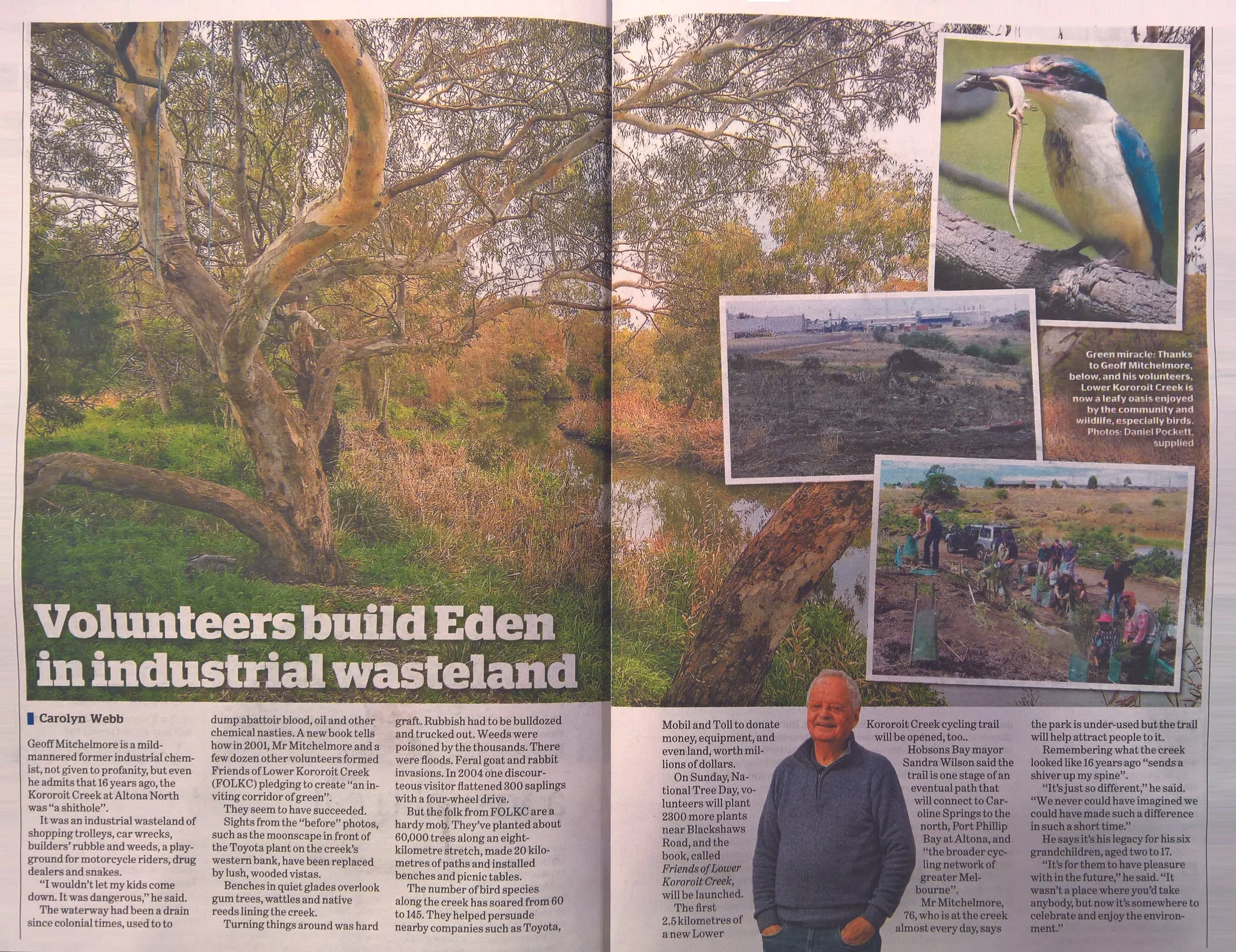
Our history: from wasteland to an urban oasis…
The Friends of Lower Kororoit creek was established in 2001 by a few dedicated community members, keen to clean up the creek and it’s surrounds. We thank founding members Geoff Mitchelmore OAM and Debbi Woods for their efforts (and the many committee members and volunteers) who over the last 25 years have worked to restore and improve the creek, and advocate for this important public space. We will load more pictures soon showing how the Friends of Lower Kororoit Creek have transformed the area. Do you recognise the creek today as it was in the early 2000’s?
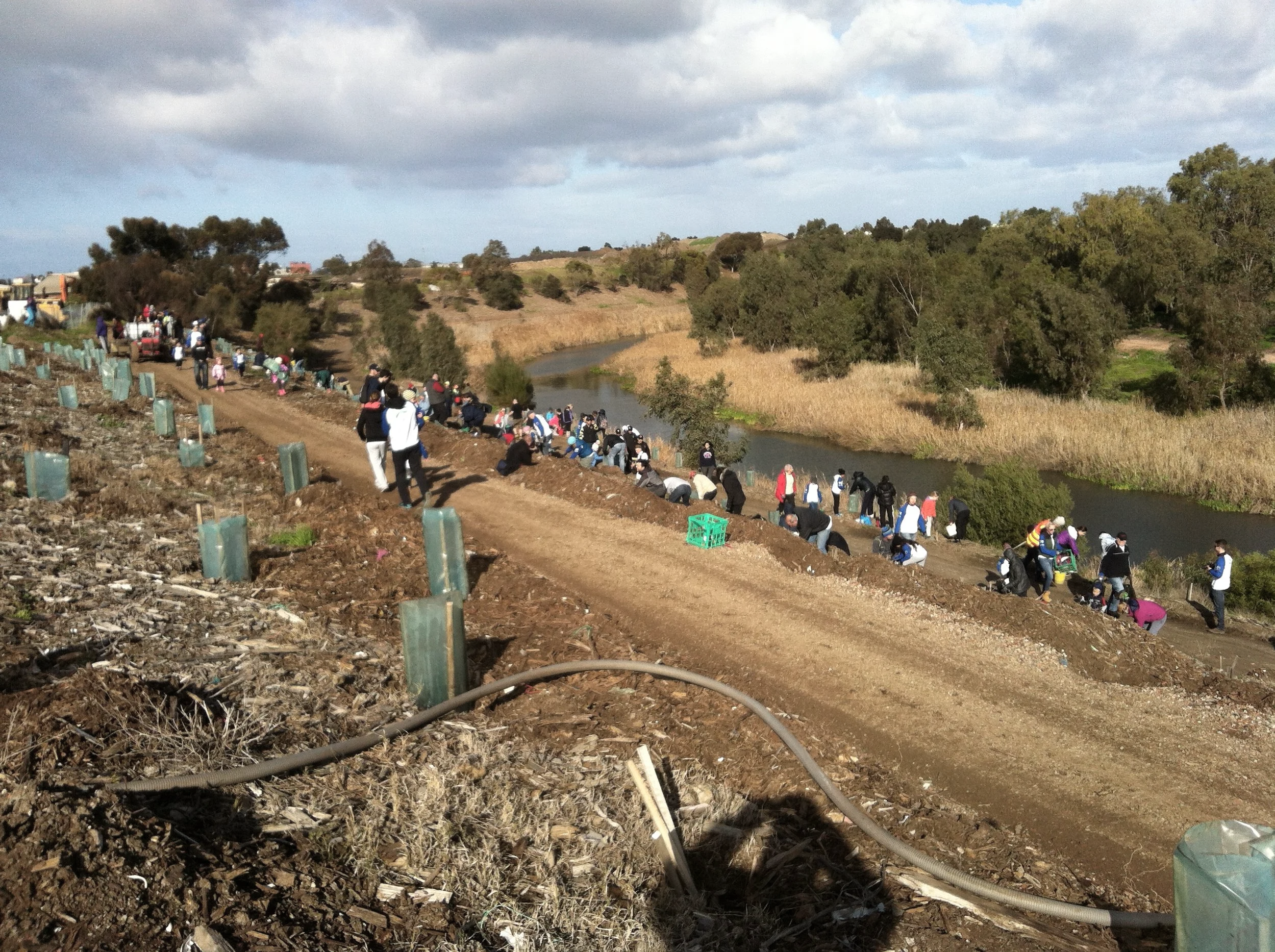
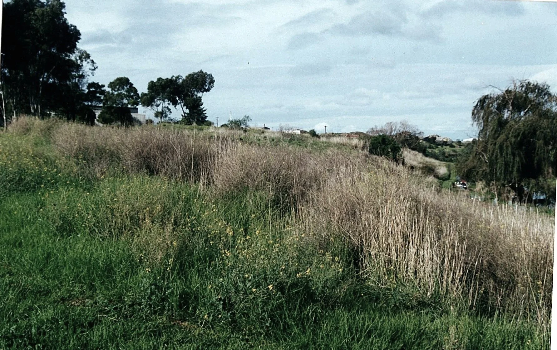
Photo credit Geoff Mitchelmore.
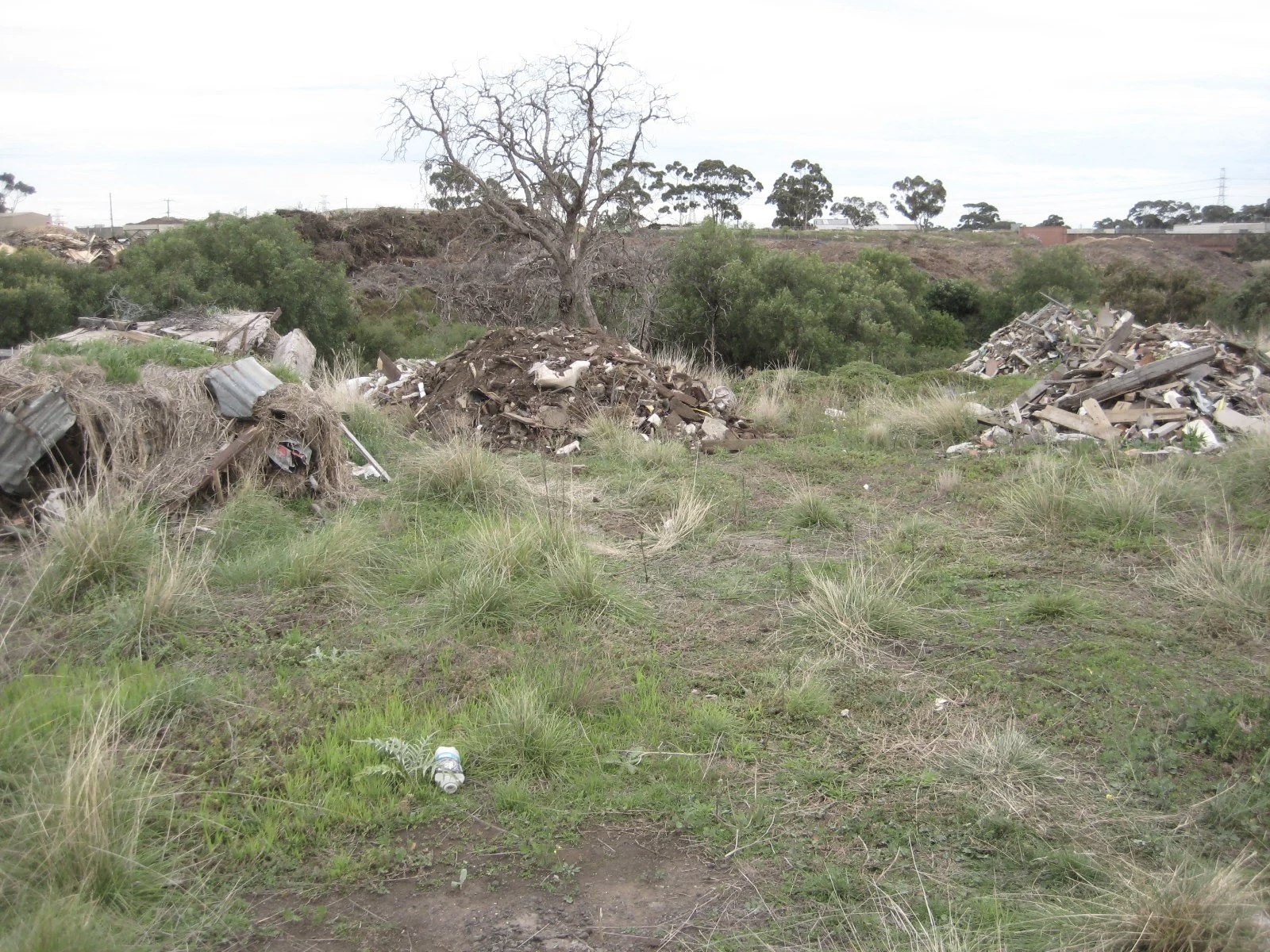
Photo credit Geoff Mitchelmore.
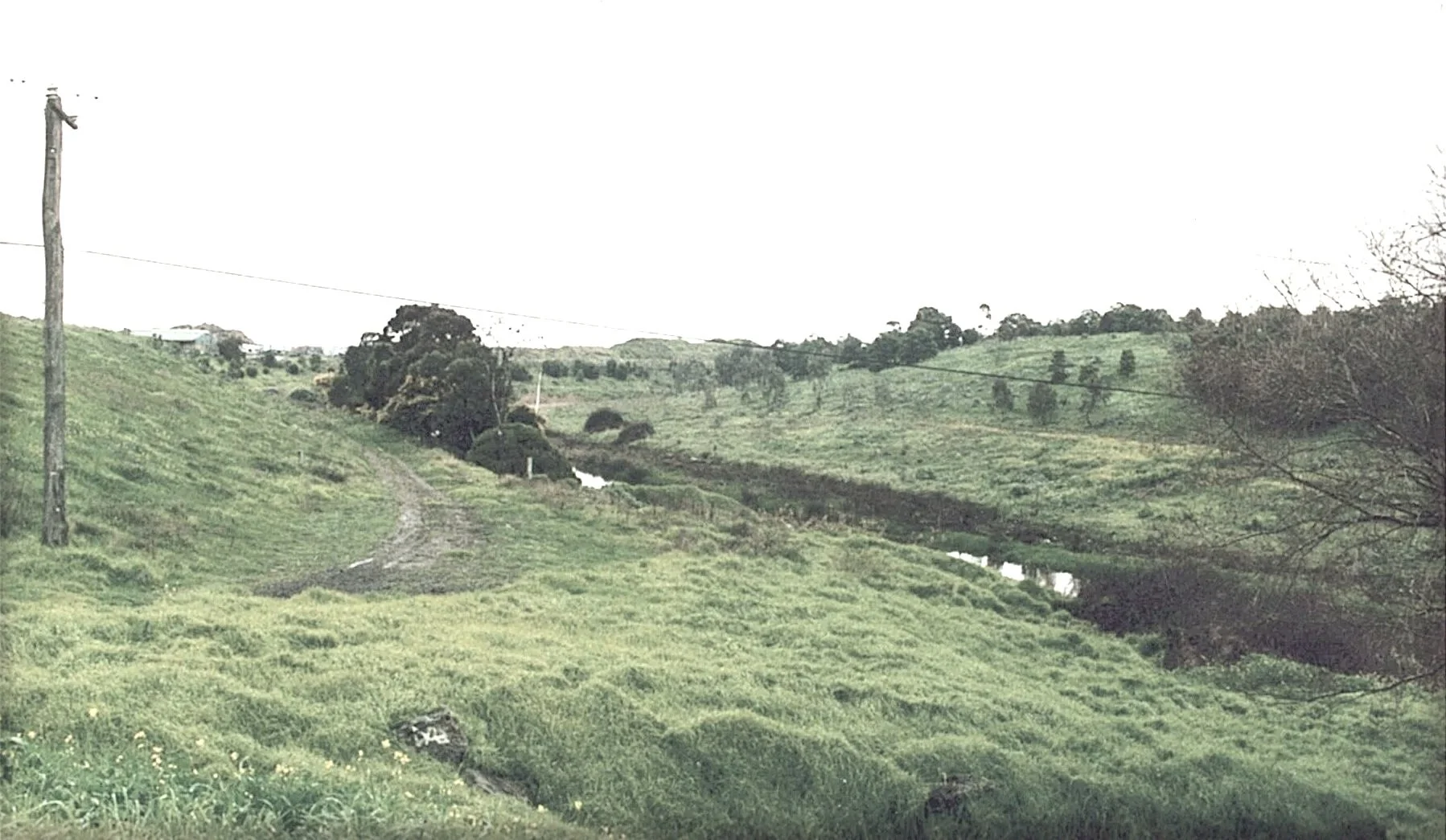
Photo credit Geoff Mitchelmore.